
Explore the catalogue
Catalogue

Logging/Timber trackway from Stainswick
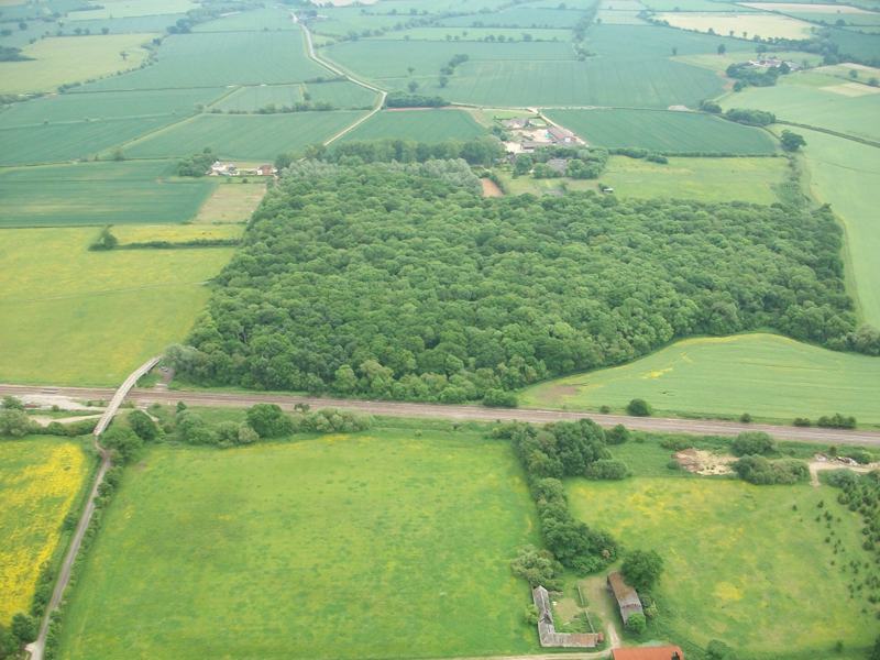
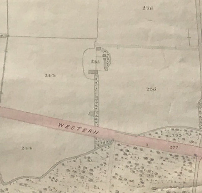
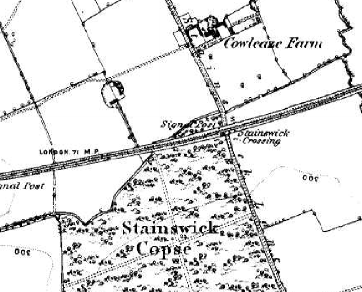
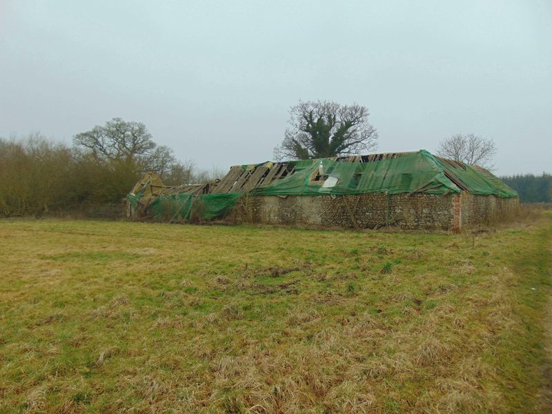
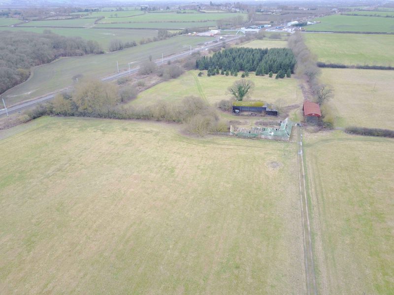
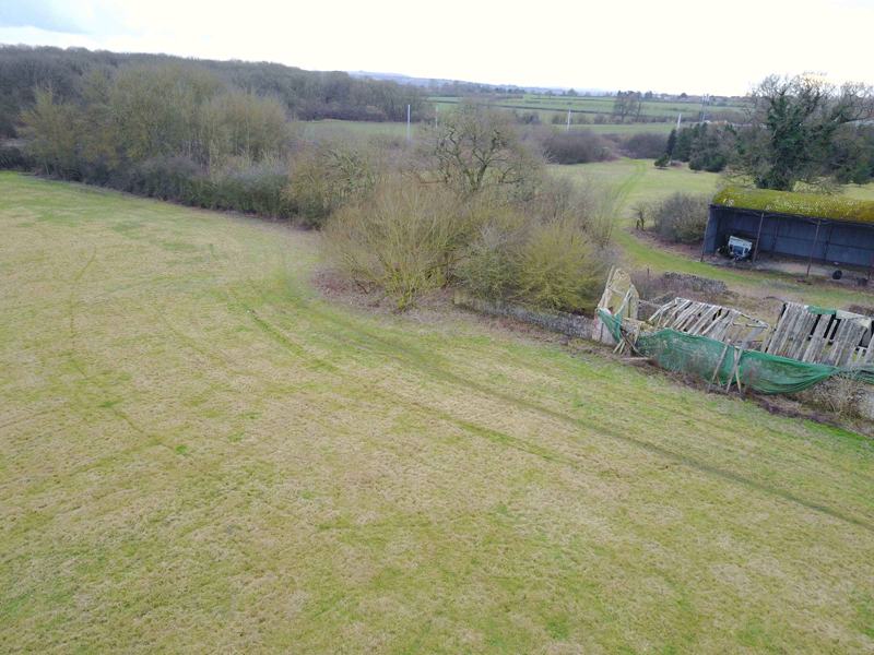
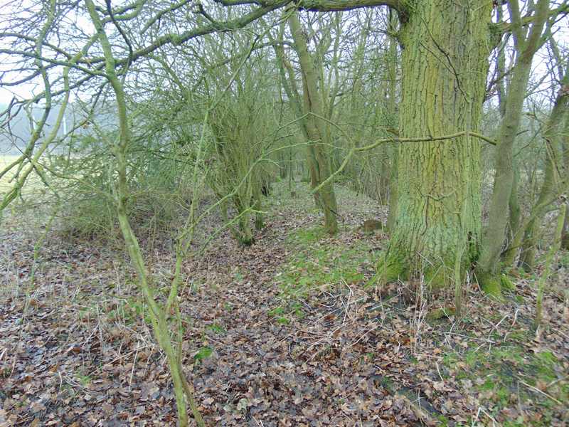
The purpose of this listing is to record what must have been a busy trackway during the late 18th and early 19th centuries, and possibly earlier. Opposite the entrance to Cowleaze Farm just south of Shrivenham, there is the remains of a large barn, and a raised trackway that leads directly to it from the direction of Stainswick Copse. From various documentary sources we know that this woodland has been in use from at least the early 17th century, and it's very likely to have been the case from even earlier. The barn seems to have been a solitary building and probably purpose built for the storage of timber. It's possible that it was put in when the Wilts & Berks Canal opened in the late 1790s, the canal being only 300 meters distant. But it, and perhaps this trackway, were made redundant by the Great Western Railway, which cut it off from the woodland in the 1840's.
Info collated and photos by Neil B. Maw
- Year:18th century
- Place:Shrivenham
- Ref:Online only
- Item Ref:N1179
- Find it:Online only
Do you know?
We are always on the look-out for more information about Shrivenham and district. If you have old photos, know of historical facts, old documents (especially deeds) please contact us...
If you would like to view any item please email us to make an appointment, details on the Home page.