
Explore the catalogue
Catalogue
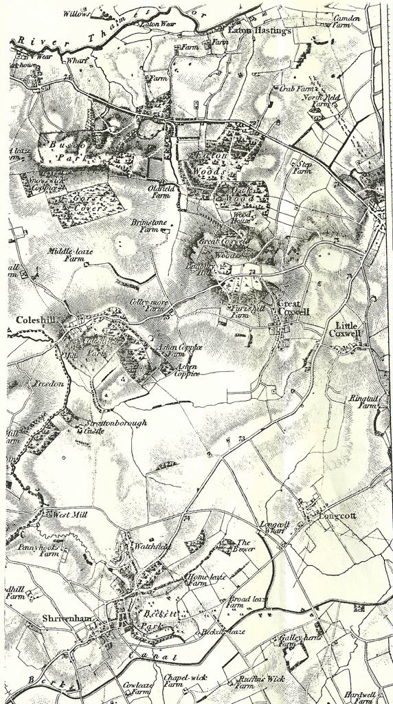
Copy of 1828 Ordnance Survey Map of the area Shrivenham to Eaton Hastings
Copy of a map - the scale is about 2 inch per mile.
- Year:1828
- Place:Shrivenham & District
- Ref:C2.3.3.1
- Item Ref:N545
- Find it:C2.SHR.3.3.1
Do you know?
We are always on the look-out for more information about Shrivenham and district. If you have old photos, know of historical facts, old documents (especially deeds) please contact us...
If you would like to view any item please email us to make an appointment, details on the Home page.