
Explore the catalogue
Catalogue

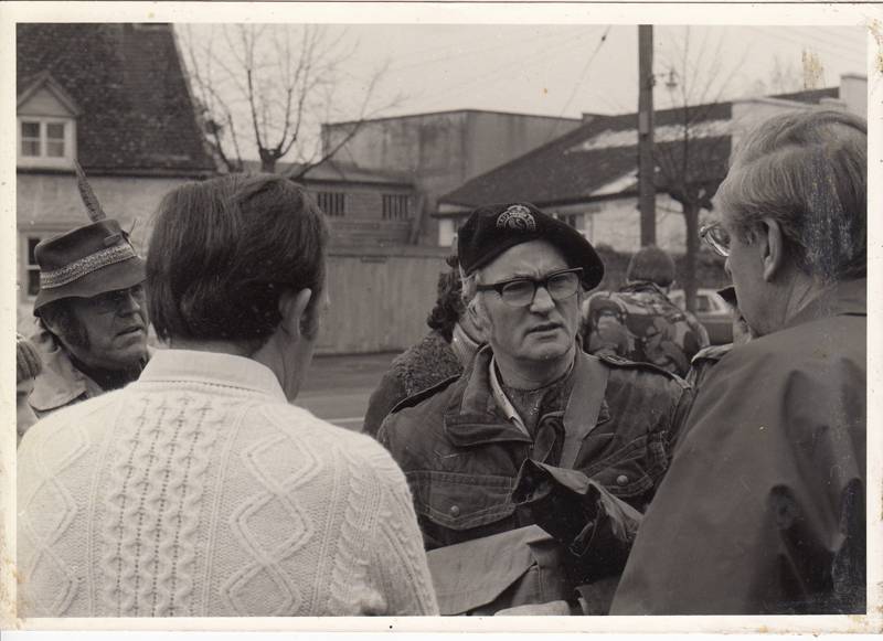
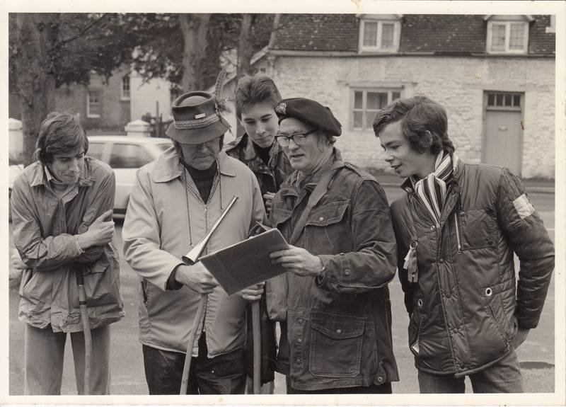
Shrivenham Boundary Walk info from 1970s to 2022
There is much information here on the popular Boundary Walks dating for the 1970s right up to 2022. The late Roy Selwood contributed to the early material with his drawings skills which is stored in Chest1. The other, later material, is mainly admin and finance and is stored on Shelf S4B.
To add any further material or information to this Listing, please get in touch with us on
info@shrivenhamheritagesociety.co.uk
In this file there is also a large aerial photo of Shrivenhaam High Street circa 1990, courtesy of Diana Crockett..
- Year:1977
- Place:Shrivenham
- Ref:Chest1 + S4B
- Item Ref:N1245
- Find it:Chest1+ S4B
Do you know?
We are always on the look-out for more information about Shrivenham and district. If you have old photos, know of historical facts, old documents (especially deeds) please contact us...
If you would like to view any item please email us to make an appointment, details on the Home page.