
Explore the catalogue
Catalogue
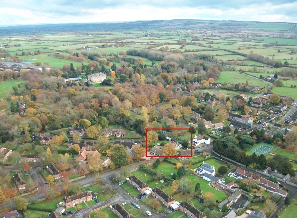
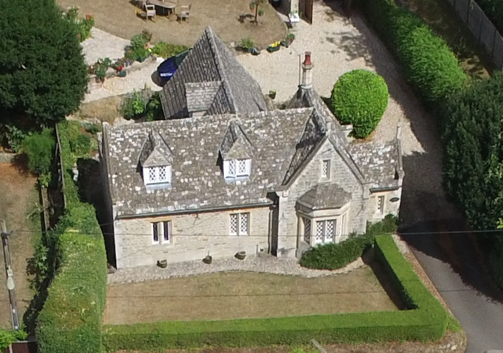

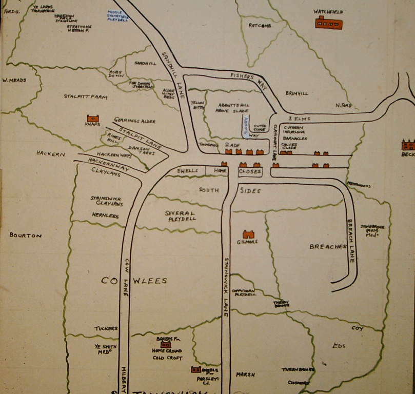
Barnacles
This purpose of this listing is to record a locale in the Parish of Shrivenham. The name 'Barnacles' refers to an area of land located at the end of the Ride that went from the site of the old Beckett House, directly to the Church. This was an exclusive, private road, for the use of the occupants of Beckett House. It's a curious name and at the moment we have no clue as to it's origins. It's very likely that it was so named by one of the early owner/occupiers of the Beckett Estate.
The earliest documentary evidence that we have for the locale is from, 'A Book of Survey of the Parish of Shrivenham,' dated June 3rd, 1658. In the land holdings listed for Henry Angell it notes, 'One Close at Barnicles, the Lord lying next on the south and Richard Day on the north.'
The photos attached show the position of the locale and a property built on the spot by one of the Barrington's that bears the name today of, 'Barnacle Lodge.' We also show a map of 18th century origin that bears the name.
Info collated by Neil B. Maw
- Year:2017
- Place:Shrivenham
- Ref:C2.SHR.3.3.0
- Item Ref:N1425
- Find it:C2.SHR.3.3.0
Do you know?
We are always on the look-out for more information about Shrivenham and district. If you have old photos, know of historical facts, old documents (especially deeds) please contact us...
If you would like to view any item please email us to make an appointment, details on the Home page.