
Explore the catalogue
Catalogue
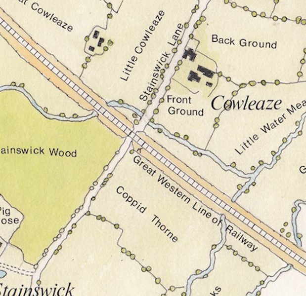
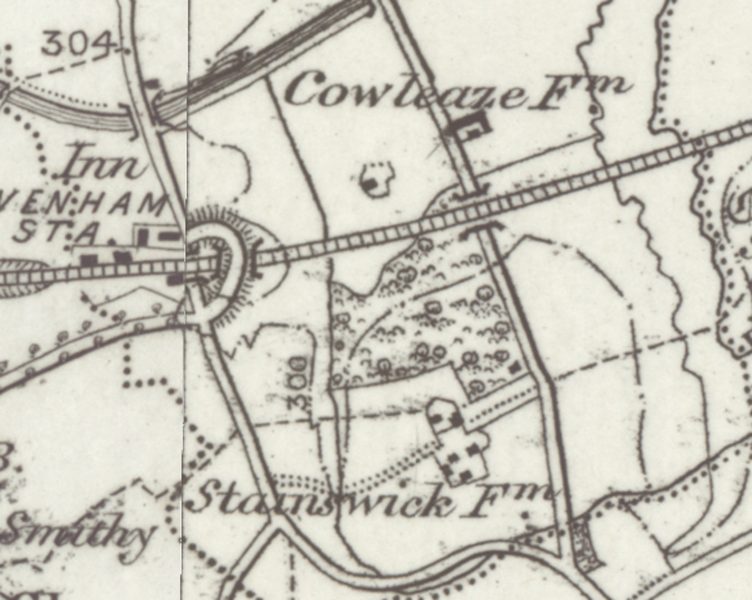

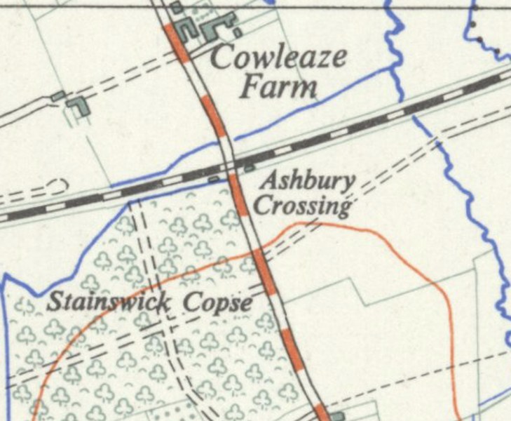
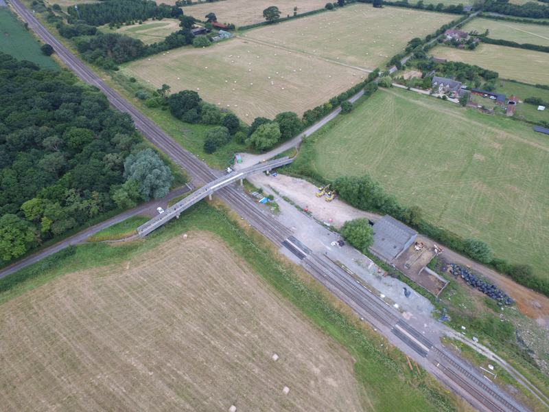
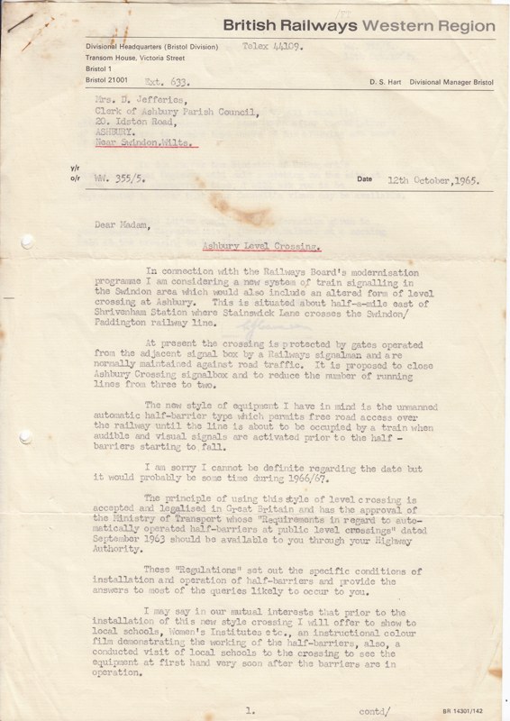
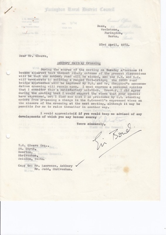
Ashbury Railway Line Crossing
Where a road intersects a busy railway line has always caused problems for railway companies. Although the crossing is called 'Ashbury Crossing' it is in fact about two miles north of Ashbury on the road to Shrivenham. A map of 1843 shows that it was likely to have been a crossing that was crossed after looking and listening. A later map circa 1890 suggests that a bridge was there. Perhaps it was a wooden structure to carry pedestrians only. From then on it seems to be gated and then the documents that make up this listing explain the rest whereby there was an automatic barrier, followed by closure of the road and a footbridge put in place as it is today.
- Year:1965 - 1972
- Place:Ashbury
- Ref:S4A
- Item Ref:N2560
- Find it:S4A
Do you know?
We are always on the look-out for more information about Shrivenham and district. If you have old photos, know of historical facts, old documents (especially deeds) please contact us...
If you would like to view any item please email us to make an appointment, details on the Home page.