
Explore the catalogue
Catalogue
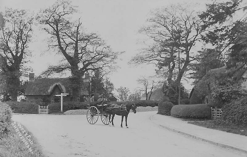
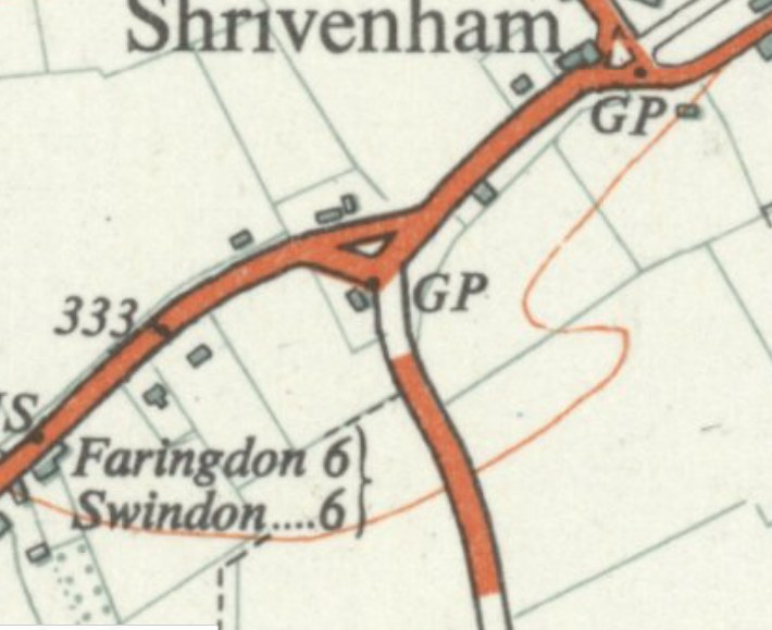
West End - Shrivenham Locale
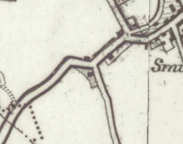
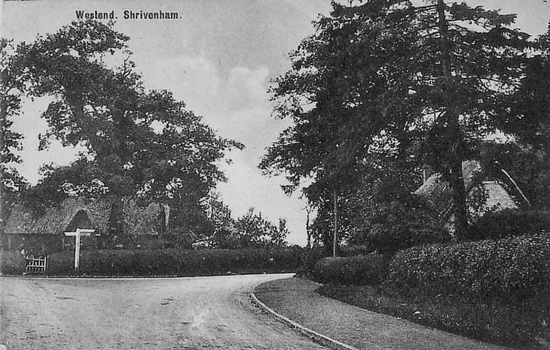
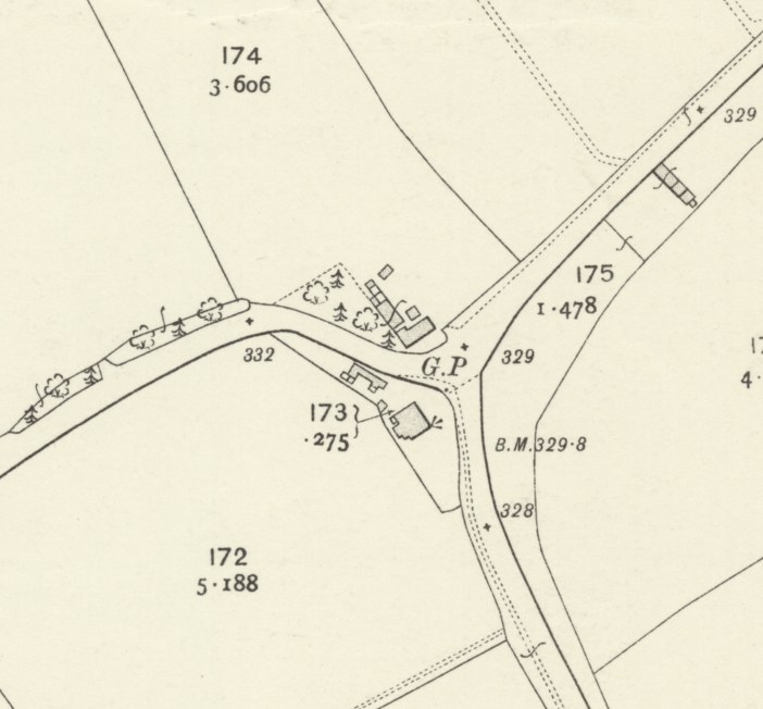
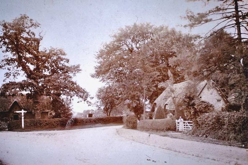
The area known as West End in Shrivenham is exactly as the name suggests, the western end of the village. It contains a junction where the main road heading towards Swindon meets the road that headed to the former railway station. However, a major change took place circa 1950 when the Swindon road was straightened, but in order to faciliate this, a cottage that stood on the jucntion was demolished. Fortunately, we have photos of the building.
- Year:Circa 1900
- Place:Shrivenham
- Ref:C2.3.1.0
- Item Ref:N35
- Find it:C2.SHR.3.1.0
Do you know?
We are always on the look-out for more information about Shrivenham and district. If you have old photos, know of historical facts, old documents (especially deeds) please contact us...
If you would like to view any item please email us to make an appointment, details on the Home page.