
Explore the catalogue
Catalogue
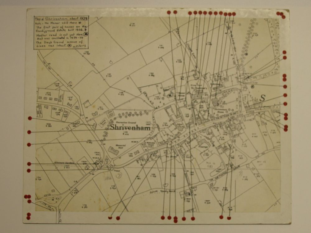
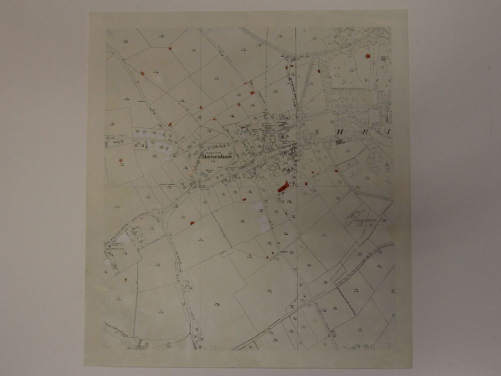
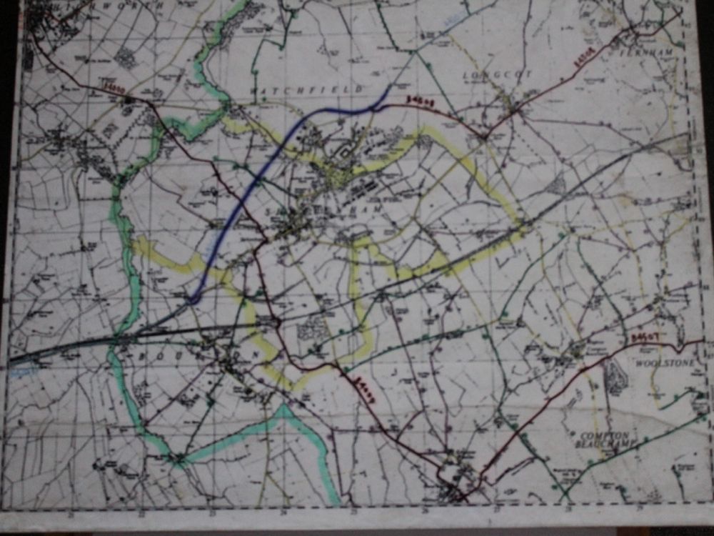
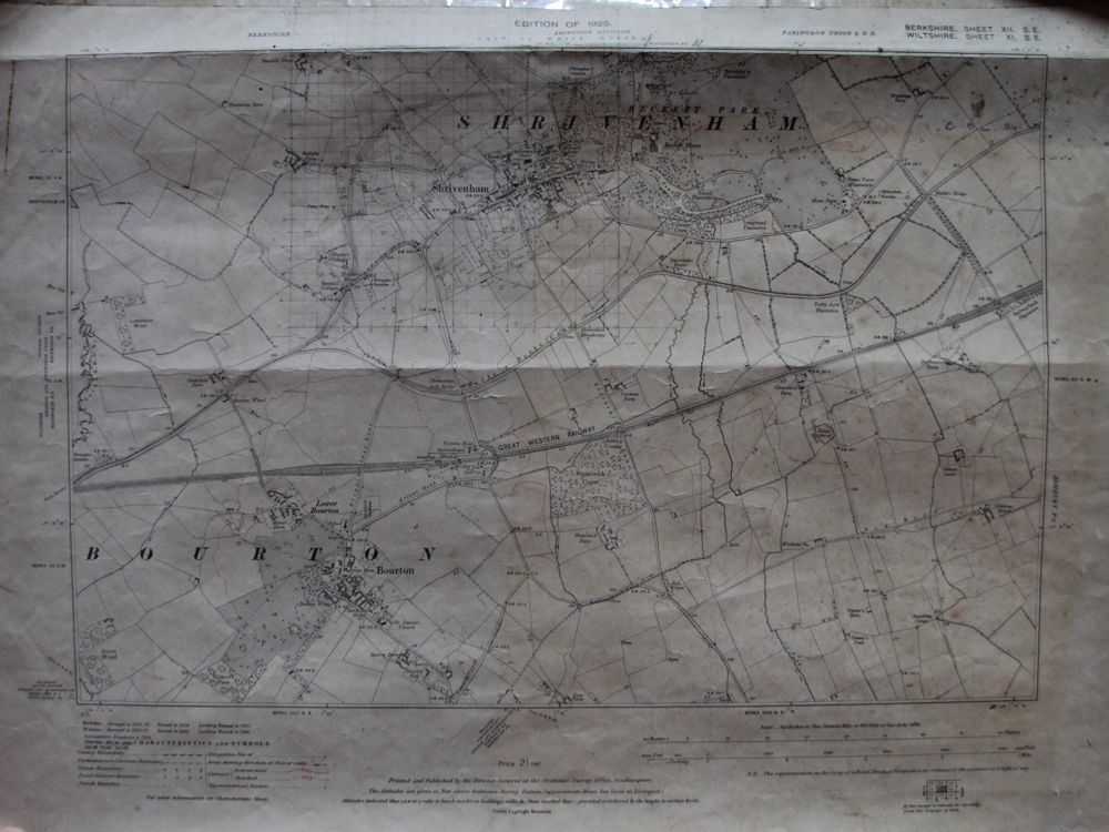
Maps of central Shrivenham dated about 1938
Maps of central Shrivenham from the 1930s and one from the 1970s showing thr proposed course of the Shrivenham bypass. See Listing N566 for full details. Shows the Manor and first pair of houses built on the Sandyground Estate built in 1936. Medlar Road not yet there until about 1938-39. On one of the maps, the red marks are ponds.
- Year:1938
- Place:Shrivenham
- Ref:Chest1
- Item Ref:N556
- Find it:Chest1
Do you know?
We are always on the look-out for more information about Shrivenham and district. If you have old photos, know of historical facts, old documents (especially deeds) please contact us...
If you would like to view any item please email us to make an appointment, details on the Home page.