
Explore the catalogue
Catalogue
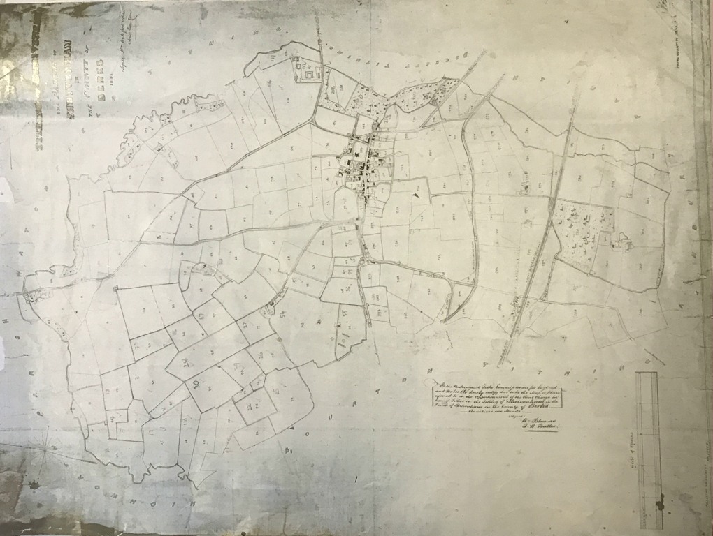
Tythe Map of Shrivenham 1844
This map measure 35cm X 45cm. It represents a smaller version of the vary large Tythe maps that were produced for the commutation of Tythes in 1844, whereby all the odd and obscure tithes that had been inherited from the amcient past, were allocated a monetary value. This map was prodeced by Phillips and Westbury of Andover and is in fairly good condition and broadly legible.
- Year:1844
- Place:Shrivenham
- Ref:Clip1
- Item Ref:N609
- Find it:Clip1
Do you know?
We are always on the look-out for more information about Shrivenham and district. If you have old photos, know of historical facts, old documents (especially deeds) please contact us...
If you would like to view any item please email us to make an appointment, details on the Home page.