
Explore the catalogue
Catalogue
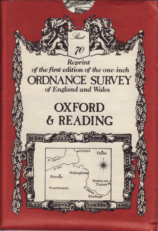
Ordnance Survey Map
This map is a modern re-print of the first edition that was printed in 1830. It covers the Oxford and Reading areas and would be of interest to early 19th century local historians.
- Year:1830
- Place:Oxford & Reading
- Ref:C2.3.3.2
- Item Ref:N880
- Find it:C2.3.3.2
Do you know?
We are always on the look-out for more information about Shrivenham and district. If you have old photos, know of historical facts, old documents (especially deeds) please contact us...
If you would like to view any item please email us to make an appointment, details on the Home page.