
Explore the catalogue
Catalogue
Shrivenham Parish Tree Survey
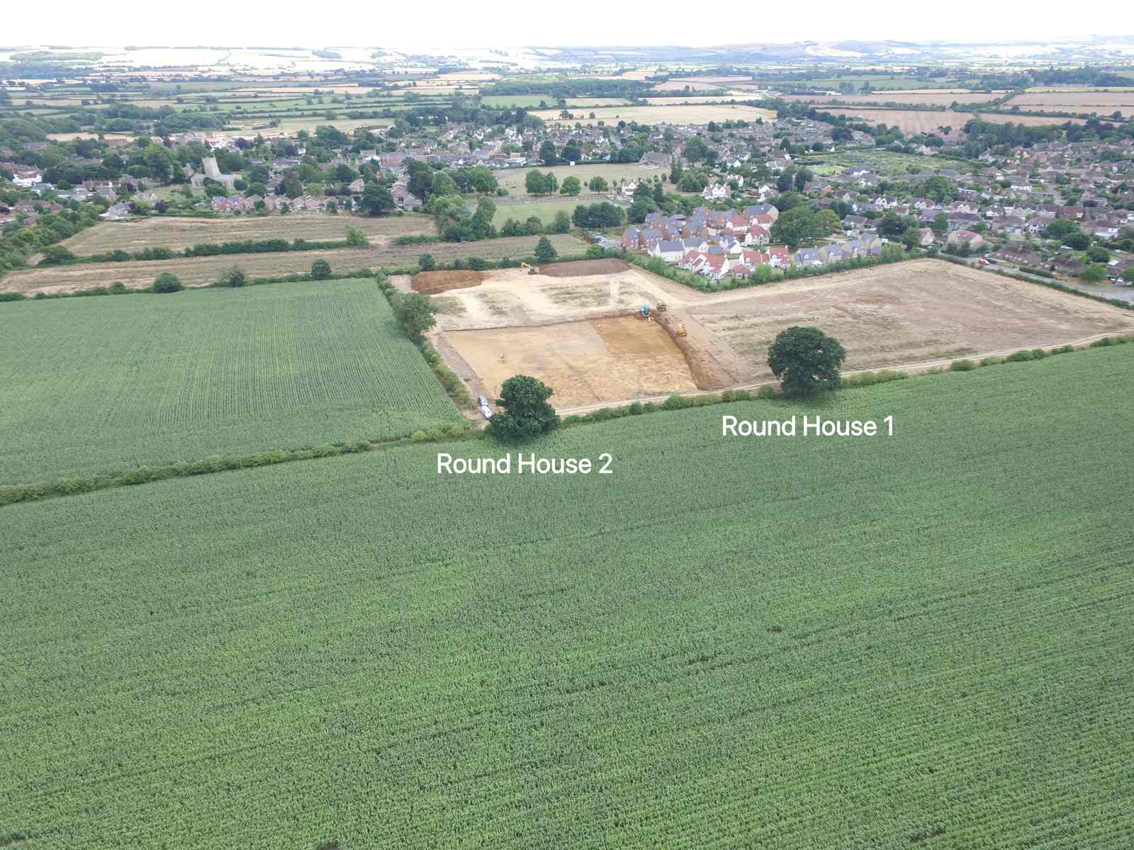
The purpose of this listing is to record the location of notable trees around the parish of Shrivenham. We list the location by Latitiude and Longitude and the measurement of the girth of the trunk at approximately 1.5m from the ground. This enables an estimate of the age of the tree. We also give each tree a name that is relevant to it, such as location, historical information etc. For instance the first listing below we are calling Round House 1 and Round House 2 because the two trees are located in the middle of the late Bronze Age settlement site just north of Shrivenham. At this site the remains of at least 10 Round Houses were discovered and are circa 3000 years old.
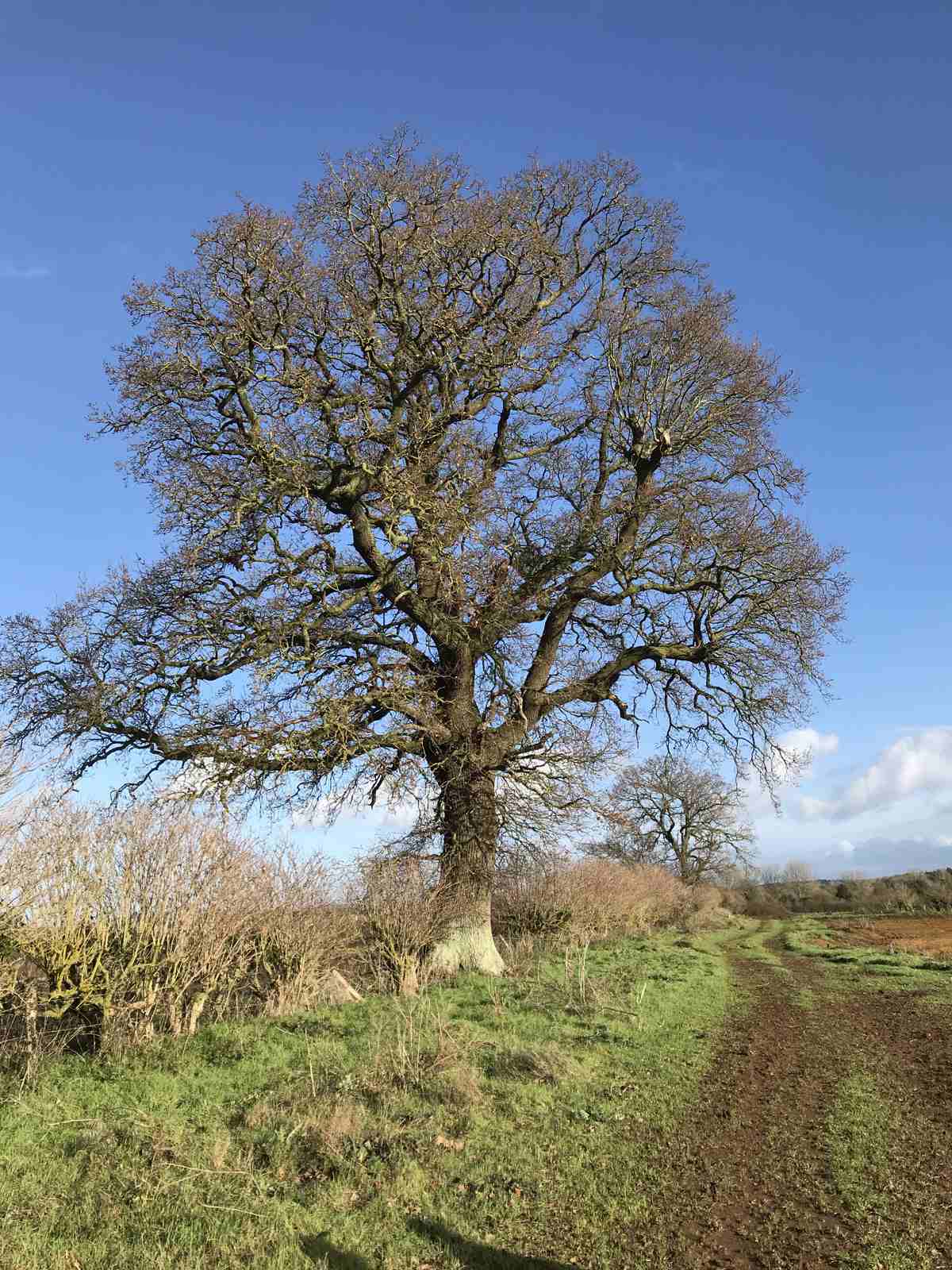
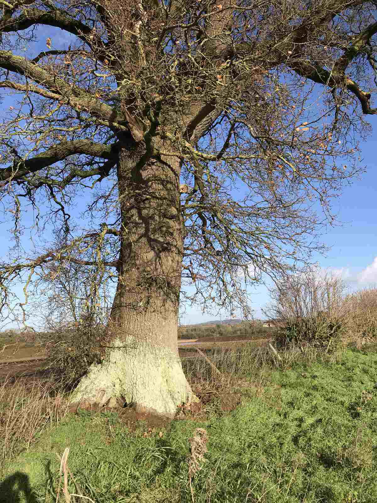
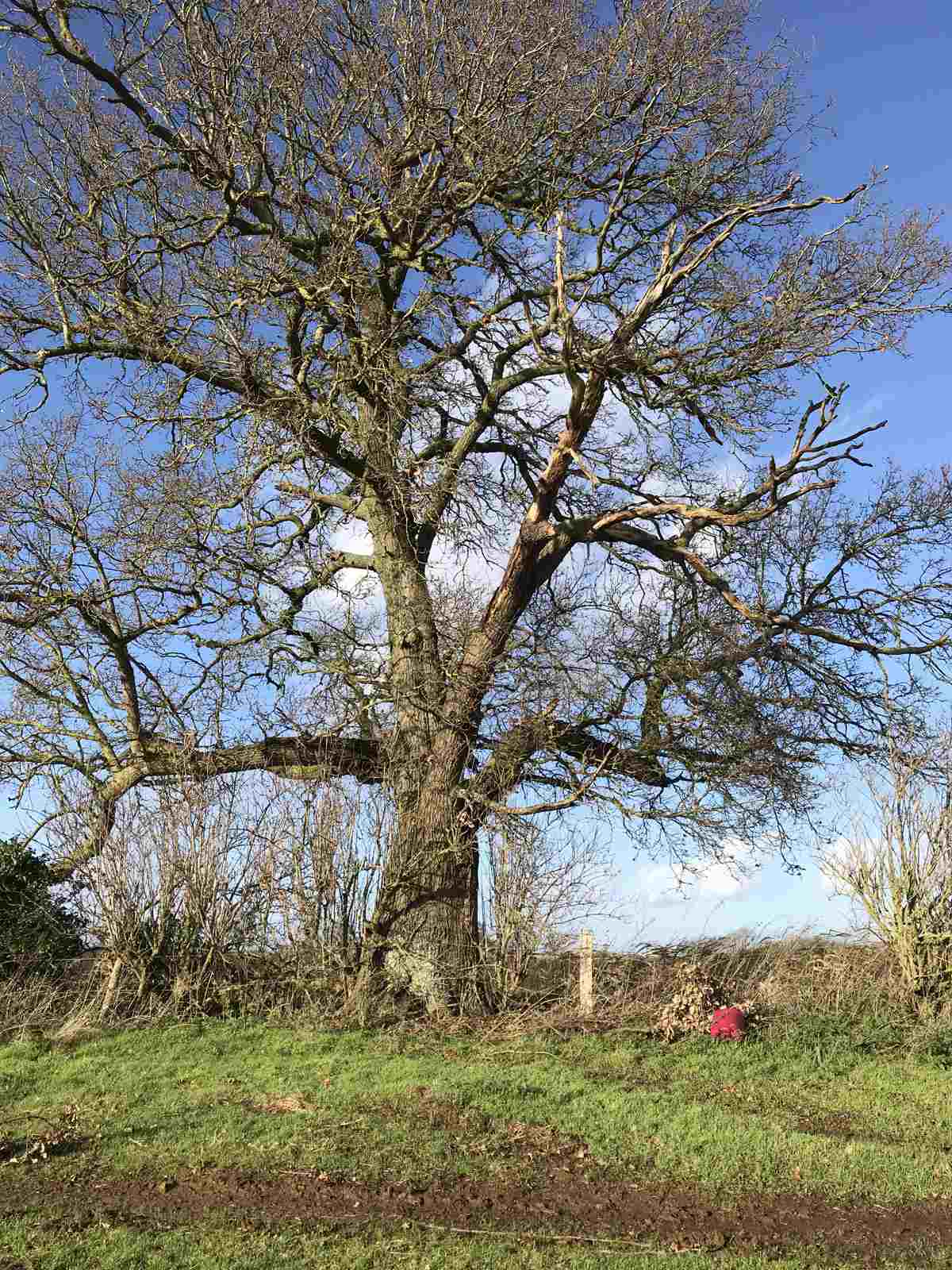
Round House 1. Oak. Lat: 51.36.09.90N Long: 01.39.34.20 W. Circumference 3.35m = age 178 years.
Round House 2. Oak. Lat: 51.36.07.58N Long: 01.39.37.82 N. Circumference 4.20m = 223 years.
- Year:2019
- Place:Shrivenham
- Ref:Online only
- Item Ref:N1095
- Find it:Online only
Do you know?
We are always on the look-out for more information about Shrivenham and district. If you have old photos, know of historical facts, old documents (especially deeds) please contact us...
If you would like to view any item please email us to make an appointment, details on the Home page.