
Explore the catalogue
Catalogue
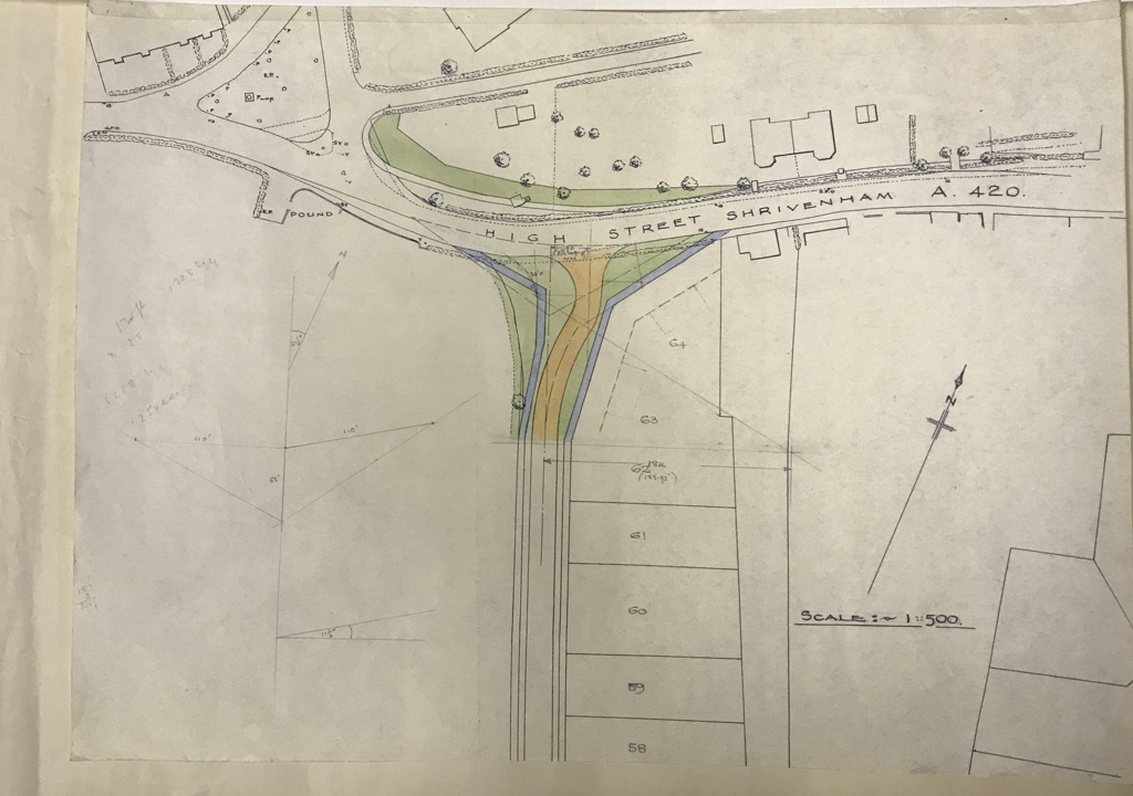
Hand drawn map of a Shrivenham junction
This map measures 33cm X 45cm and is hand drawn in colour to technical specification. There are no markings on it to say who drew it, for what purpose or when, but it shows the layout of the junction in technical detail, It is assumed it originates from the last time that the junction was altered which we think was in the 1970s.?
- Year:C1970s
- Place:Shrivenham
- Ref:Clip2
- Item Ref:N1154
- Find it:Clip2
Do you know?
We are always on the look-out for more information about Shrivenham and district. If you have old photos, know of historical facts, old documents (especially deeds) please contact us...
If you would like to view any item please email us to make an appointment, details on the Home page.