
Explore the catalogue
Catalogue
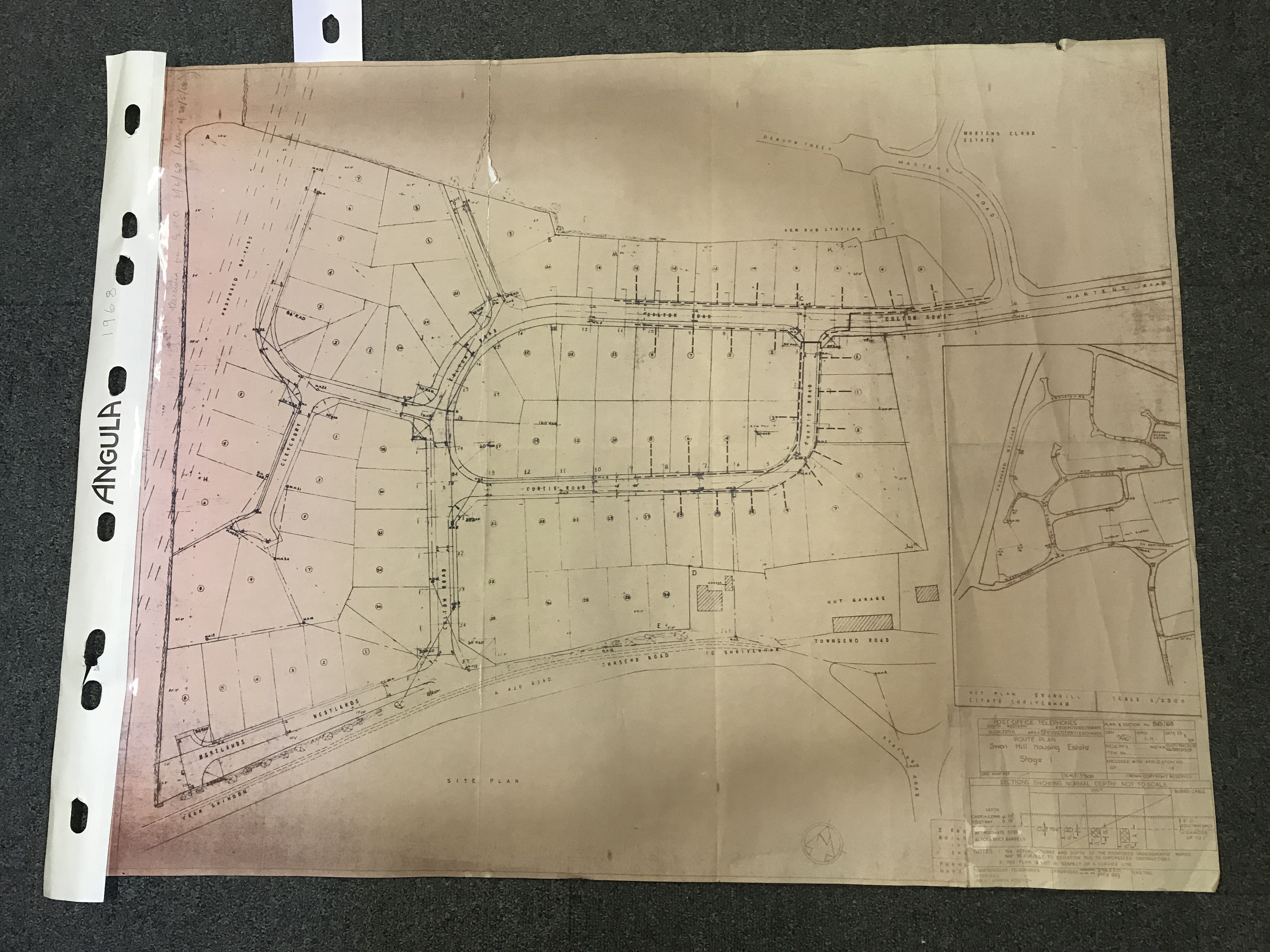
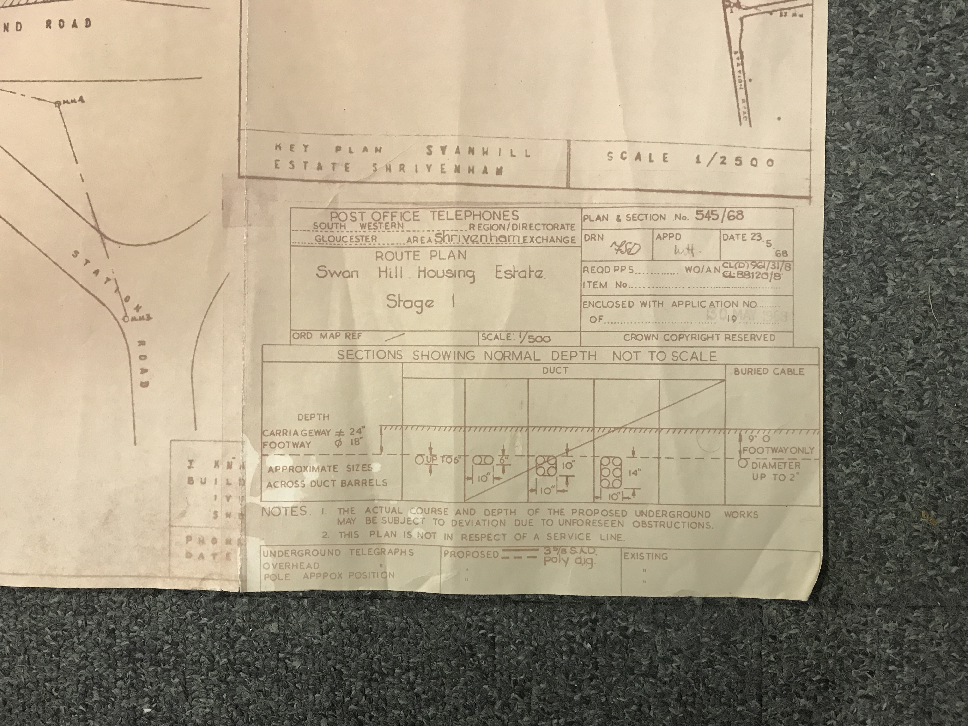
GPO Map of the Swan Hill Estate Shrivenham
This map measure 90cm X 72cm and is printed on pink technical drawing paper. It has a note on it saying that it was received from the GPO (General Post Office) on 2nd June 1968 and shows the layout of what was called then the, 'Swan Hill Estate,' (Colton Road, etc). It shows the layout of the Telephone line junctions and circuits, both overhead and underground.
- Year:1968
- Place:Shrivenham
- Ref:Clip2
- Item Ref:N1156
- Find it:Clip2
Do you know?
We are always on the look-out for more information about Shrivenham and district. If you have old photos, know of historical facts, old documents (especially deeds) please contact us...
If you would like to view any item please email us to make an appointment, details on the Home page.