
Explore the catalogue
Catalogue
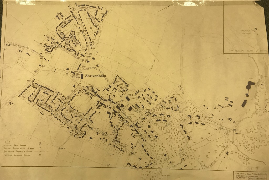
Maps of the Sewers and Drains in Shrivenham
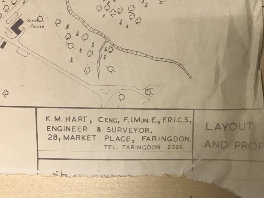
These maps measure approx 75cm X 52cm and are printed on very light paper. They appear to be from the 1960s but bears nothing to confirm that. The Engineers involved are K.M. Hart, Engineers & Surveyors of 28 Market Place, Faringdon. Presumably, this is from a major upgrade of the sewers in Shrivenham.
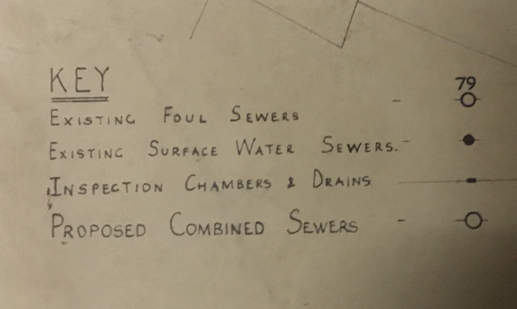
hree maps in total and cover the same area of Shrivenham but are different in the technical details. The numbers of this listing then are N1159 (1) (2) & (3), all in the same Clip.
- Year:1960s
- Place:Shrivenham
- Ref:Clip2
- Item Ref:N1159
- Find it:Clip2
Do you know?
We are always on the look-out for more information about Shrivenham and district. If you have old photos, know of historical facts, old documents (especially deeds) please contact us...
If you would like to view any item please email us to make an appointment, details on the Home page.