
Explore the catalogue
Catalogue
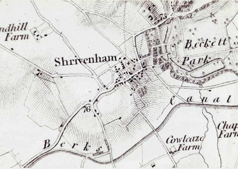
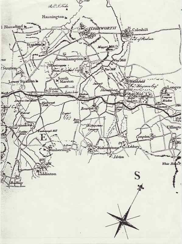
Two maps of Shrivenham & district
One map shows the layout of Shrivenham centre in quite good detail. The Wilts and Berks Canal is on it so it must date from 1800 or later.
The other map is a photocopy of a larger scale of Shrivenham and district. Again it has the Wilts & Berks canal shown on it.
- Year:Circ 1800
- Place:Shrivenham
- Ref:C2.3.3.0
- Item Ref:N1201
- Find it:C2.SHR.3.3.0
Do you know?
We are always on the look-out for more information about Shrivenham and district. If you have old photos, know of historical facts, old documents (especially deeds) please contact us...
If you would like to view any item please email us to make an appointment, details on the Home page.