
Explore the catalogue
Catalogue
Ordnance Survey Maps - historical copies
Some of these maps are modern copies of original historical maps and also original
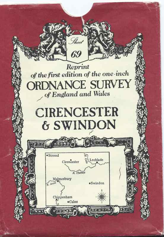
One inch map of 1828 in date, bearing the number 69 covering a wide area around Cirencester but does include Shrivenham. It was printed in 1970
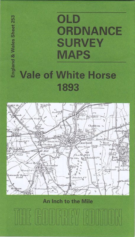
One inch map bearing the description, England & Wales Sheet 253 covering the area known as the Vale of White Horse dated 1893. An Alan Godfrey Map printed in 2002
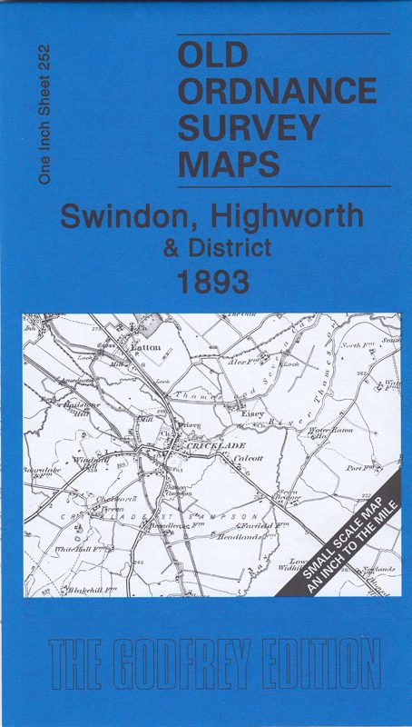
One inch map bearing the number 252 covering the area of Swindon, Highworth & District dated 1893. An Alan Godrey Map printed in 2008.
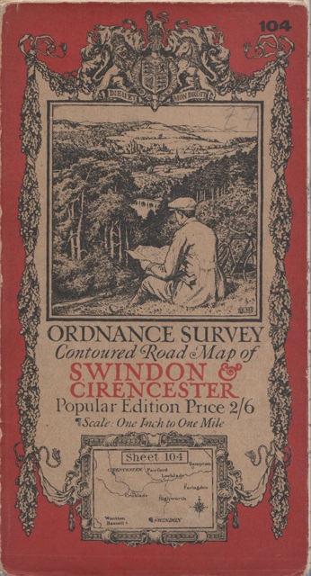
Swindon & Cirencester from the survey of 1893 with revision in 1913 - 14
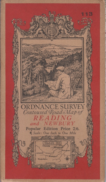
Reading printed in 1919 with minor corrections to 1933
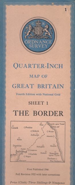
The Border country (Scotland) first publisshed in 1946 with first revision 1922
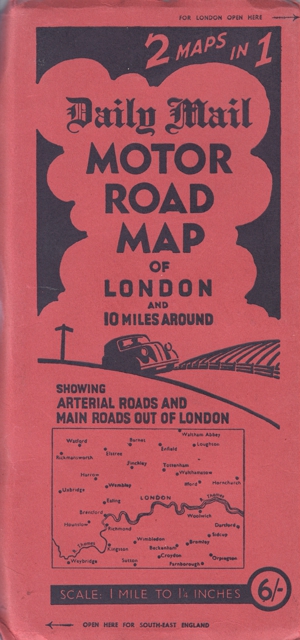
The Daily Mail Motor Road Map from the 1930's
Also two OS reprints of maps from 1830s covering Oxford and Reading
- Year:1828
- Place:Cirencester & District
- Ref:In Map Chest
- Item Ref:N1414
- Find it:In Map Chest
Do you know?
We are always on the look-out for more information about Shrivenham and district. If you have old photos, know of historical facts, old documents (especially deeds) please contact us...
If you would like to view any item please email us to make an appointment, details on the Home page.