
Explore the catalogue
Catalogue
Moor Mill at Liddington Wick
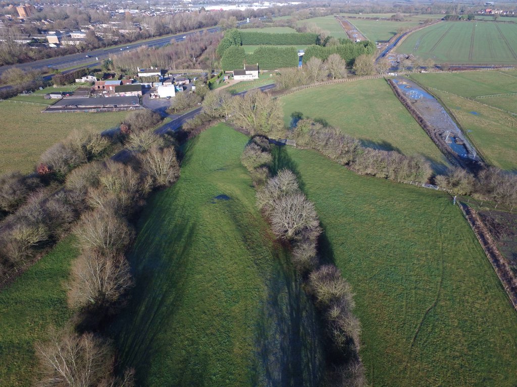
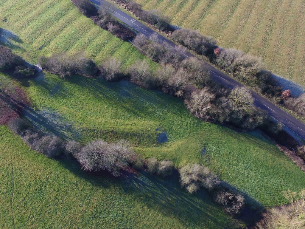
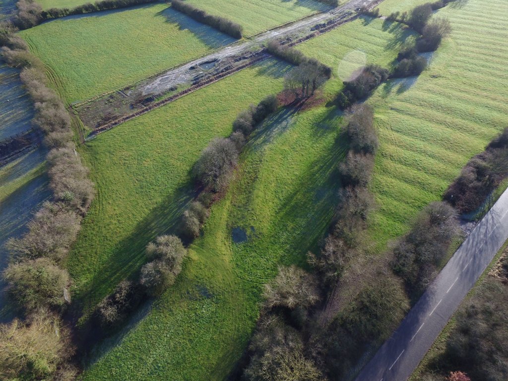
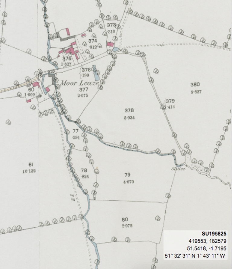
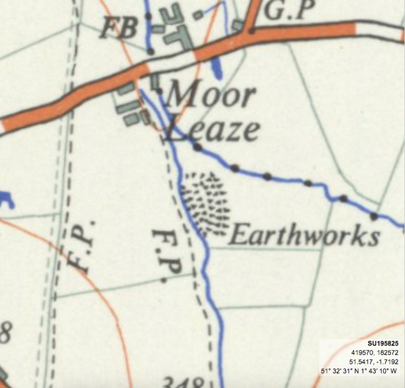
The OS Map 1: 25,000 series from 1937 - 1961 shows near Moor Leaze an area where two streams of water converge and the word 'Earthworks.' There can be no doubt that something man-made had once stood at the location and Neil Maw from the Shrivenham Heritage Society and local Historian Christine Hinton decided to research it with a view to finding out just what it was.
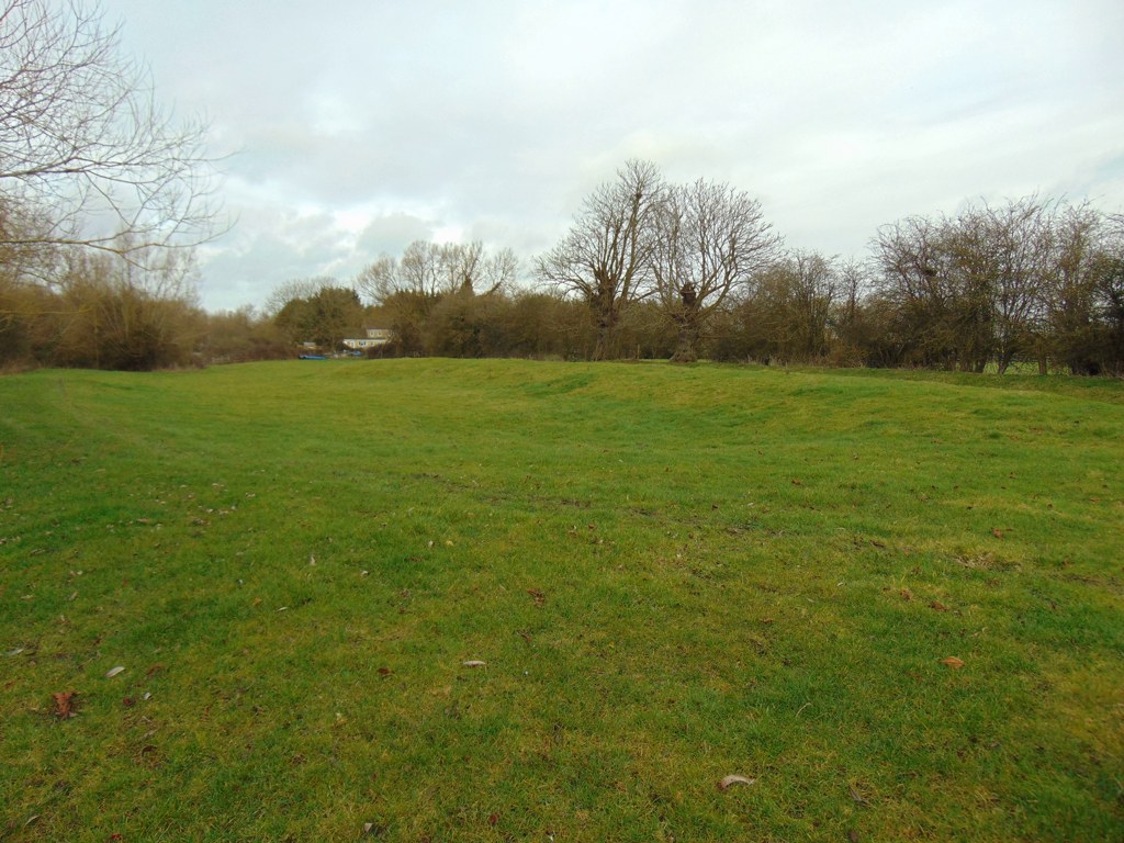
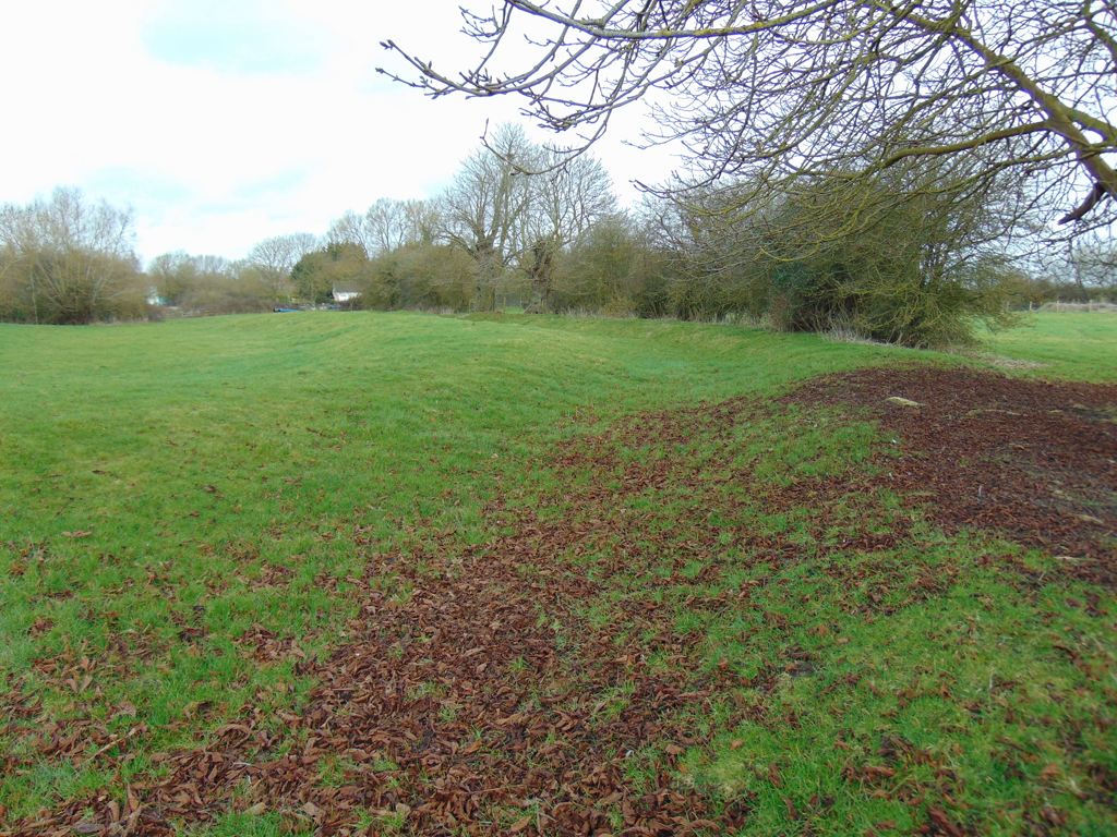
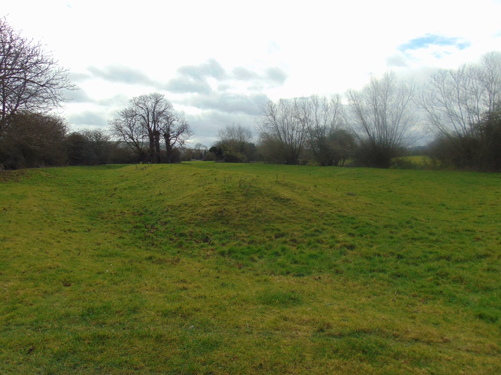
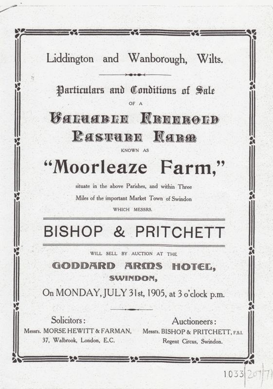
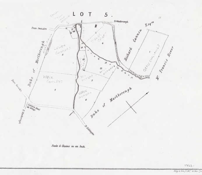
From the air the location and the convergence of the two streams of water would strongly suggest a water mill but evidence was required to substantiate this. The first clue came from a sale catalogue of Moorleaze Farm on 31st July 1905. The map that accompanied it shows that two of the enclosures are called Pond Meadow and Mill Meadow.
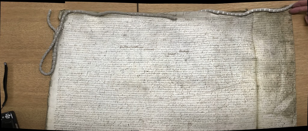
Then there is documentary evidence in the form of an Indenture, N.A. Court of Chancery Ref: C6/104/55. This is dated 28th December 1651. Within the text it refers to a lease that is dated much earlier to the 13th August 1568 when William Fisher and his son Thomas, let the farm unto John Fisher of Lindham Weeke in the Parish of Liddington and a property called, 'Platt House.' It continues, 'with the property long since demolished and all and every Barnes, Stables, Horse Edifice, Orchards, Gardens, Courts, Yards and Banksides that belonged to Agnes Cuundy and Alice Weekes, widows, and that Water Grist Mill with appurtenances lying and being in Lindham Weeke called by the name of Moore Mill.
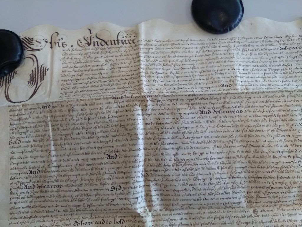
Then we have more documentary evidence from the High Court of Chancery with the case between William Powell and Henry Fisher dated 18th August 1670. National Archives Ref: C6/57/14. Within the text of the case it mentions, messuages and lands in Lydington Weeke, Moore and Wanborough, and in particular, 'one Mill called Moore Mill.'
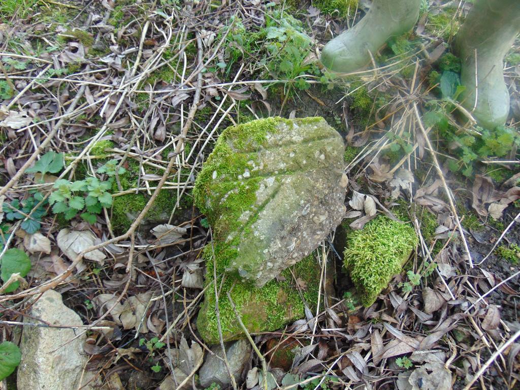
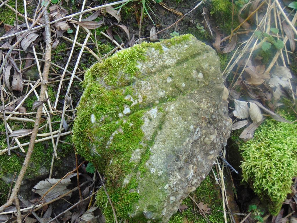
It has yet to be discovered just how the mill worked and what part the large bank of earth played in its operation. Looking at the derbris that lies in the stream on the west side there is strong evidence of buildings with stones scattered all around. And for more conclusive evidence with a fragment of a mill stone also discovered lying among the stones. (See photos).
It is likely that this mill fell into disuse a long time ago; maybe from as far back as 1670, the date of the Chancery document mentioned above. However, more research will need to be done to discover such detail.
- Year:16th century
- Place:Moor Leaze Liddington
- Ref:Online only
- Item Ref:N1522
- Find it:Online only
Do you know?
We are always on the look-out for more information about Shrivenham and district. If you have old photos, know of historical facts, old documents (especially deeds) please contact us...
If you would like to view any item please email us to make an appointment, details on the Home page.