
Explore the catalogue
Catalogue
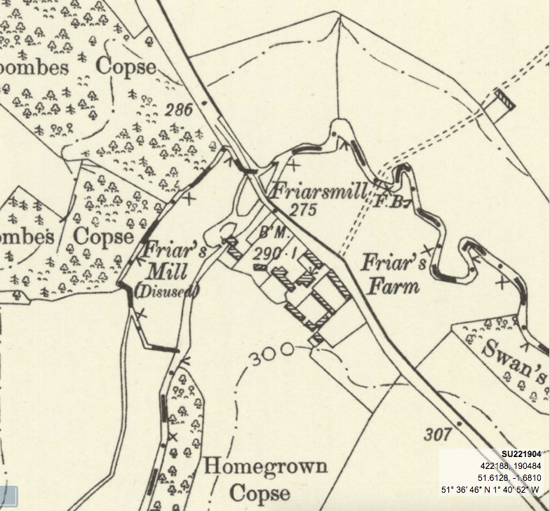
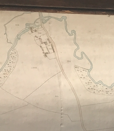
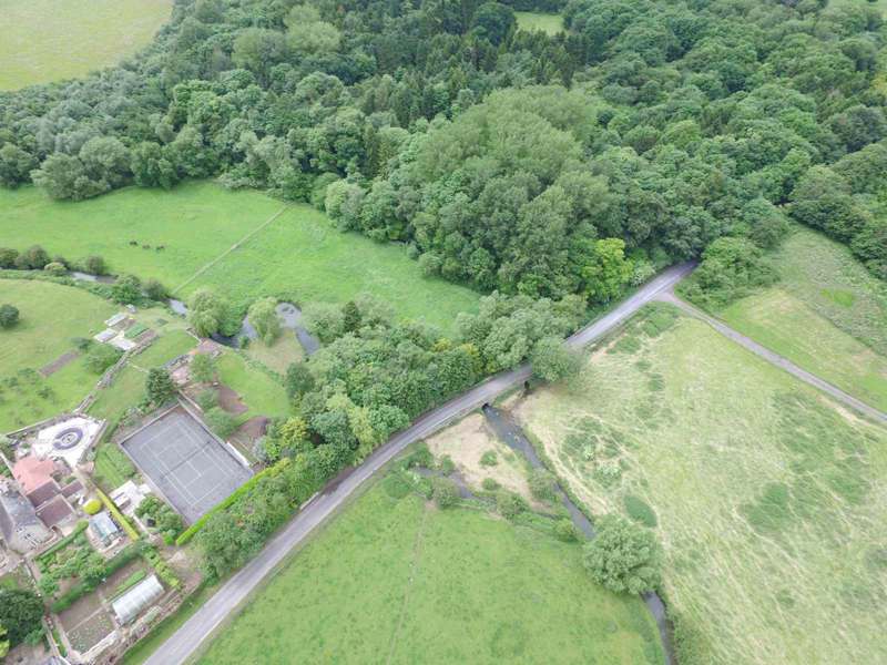
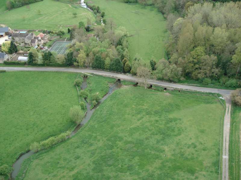
Friars Mill Shrivenham
The water mill that was located at Fryars Farm, Shrivenham, was used extensively throughout the 17th to 19th centuries. Its origins almost certainly lay much earlier and if we accept the evidence presented in the listing numbered N1495 in this catalogue, then it can be placed into the early part of the 14th century. It was popular belief until recently that "Fowers Mill" of the Royal White Capon fame, was located within Beckett Park, but the evidence we have presented strongly suggest that Fowers and Fryars are one and the same.
- Year:14th - 20th centuries
- Place:Shrivenham
- Ref:Online only
- Item Ref:N1530
- Find it:Online only
Do you know?
We are always on the look-out for more information about Shrivenham and district. If you have old photos, know of historical facts, old documents (especially deeds) please contact us...
If you would like to view any item please email us to make an appointment, details on the Home page.