
Explore the catalogue
Catalogue
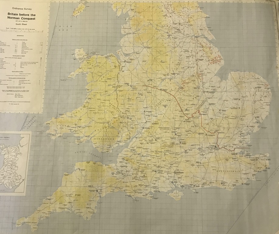
Map of Britain before the Norman Conquest
Printed on light paper by Ordnance Survey in 1973, this map measures 115cm X 80cm. The scale is approximately 1inch to 10 miles. It covers southern England and is a fascinating look at the period.
- Year:1973
- Place:Southern England
- Ref:Clip3
- Item Ref:N1535
- Find it:Clip3
Do you know?
We are always on the look-out for more information about Shrivenham and district. If you have old photos, know of historical facts, old documents (especially deeds) please contact us...
If you would like to view any item please email us to make an appointment, details on the Home page.