
Explore the catalogue
Catalogue
Remains of an early cottage at Great Coxwell
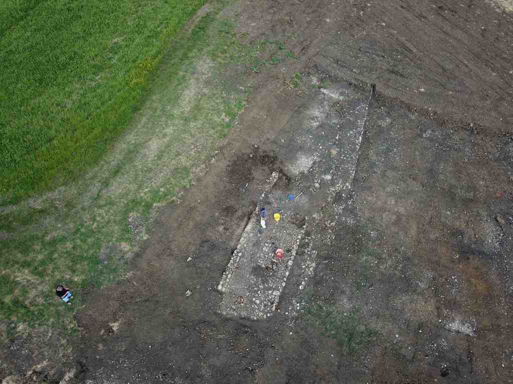
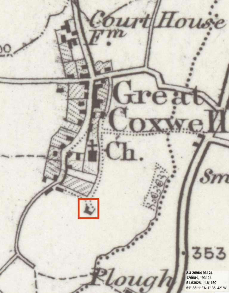
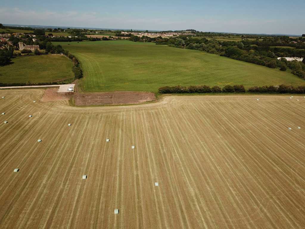
When the farmer decided to clear some land that was full of stones, rubble and vegetation, it revealed the outline of a small building. Early OS maps depicted what appeared to be a small farmstead. SHS member Neil Maw and friend Jeff Bryan, with the permission of the farmer, decided to have a closer look in May 2020 whilst the land was freshly bulldozed and clear of undergrowth.
At the time, the country was under Lockdown regulations caused by the Covid Pandemic, so some outdoor activity away from the crowds, was most welcome. The intention was not to hold a full archaeological excavation but rather a clean-up to establish what remained.
The clean-up revealed what appeared to be the floor and outer foundation stones of an early cottage that once had thick rubble stone walls, no chimney but a basic hearth on the floor. Part of the floor consisted of laid stones and a door at one end. It had been extended at some time but in a crude manner. The dimensions of the outline of the cottage were length 7.65m X 3.69m width.
To see more photographic information in the form of a short video please go HERE
- Year:2020
- Place:Great Coxwell
- Ref:Online only
- Item Ref:N184
- Find it:Online only
Do you know?
We are always on the look-out for more information about Shrivenham and district. If you have old photos, know of historical facts, old documents (especially deeds) please contact us...
If you would like to view any item please email us to make an appointment, details on the Home page.