
Explore the catalogue
Catalogue
The Beckett Estate Farms in 1771
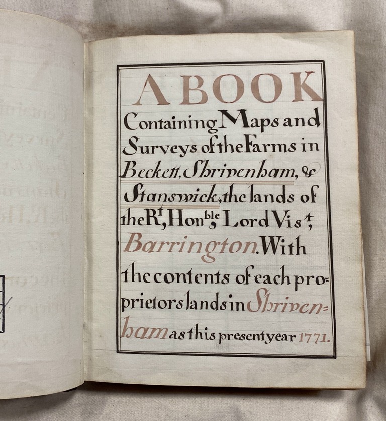
In 1771 Lord William Viscount Barrington (2nd) had a complete survey carried out of all the farms on the Beckett Estate. The survey book has survived and is held within the Berkshire County Archives at Reading, Ref No: D/Ex 1424/1. Within the book there are very detailed maps of each farm.
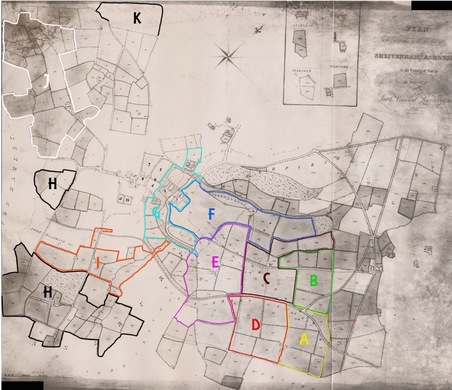
In order to share this information we have decided to use a copy of the estate map from 1815. The Beckett Estate had emerged from being in trust for 21 years and was run down and disorganised. George Merryweather, the new Steward appointed by Lord George Viscount Barrington (5th), had the estate map drawn up for his own use. There was very little change from 1771 to 1815.
The Key to the farms are as follows.
A - Galleyherns Farm. Still same
B - Lower Broadleaze Farther Farm. A stone wall marks where the Farm House once stood
C - Lower Broadleaze Farm. Now Broadleaze Farm
D - Upper Broadleaze Farm. No longer exists as a seperate farm
E - Oxleaze Farm. Now Home Farm
F - Homeleaze Farm. Now part of the Military College
G - Beckett House & Grounds. Now part of the Military College
H - Stainswick Farm. Still same
I - Cowleaze Farm. Still same
J - Stallpits Farm. Still same
K - Pennyhooks Farm. Still same
- Year:1771
- Place:Beckett
- Ref:Online only
- Item Ref:N474
- Find it:Online only
Do you know?
We are always on the look-out for more information about Shrivenham and district. If you have old photos, know of historical facts, old documents (especially deeds) please contact us...
If you would like to view any item please email us to make an appointment, details on the Home page.