
Explore the catalogue
Catalogue
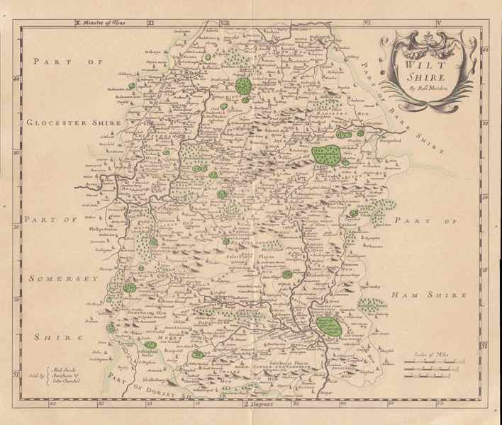
Map of Wiltshire circa 1690-1722
This map was at one time framed and presented on the occasion of the opening of Burmah House, Swindon, on Friday 28th September 1973. It has since been dontaed to the Society and for ease of storage has been taken out of the frame and scanned. This is a copy of the map of Wiltshire by Robert Morden that was originally drawn up in 1695 and re-copied in 1722, presumably with corrections. There is a scan of the map in higher resolution in the SHS digital vault that is available upon request.
- Year:1722
- Place:Wiltshire
- Ref:C2.3.3.0
- Item Ref:N553
- Find it:C2.SHR.3.3.0
Do you know?
We are always on the look-out for more information about Shrivenham and district. If you have old photos, know of historical facts, old documents (especially deeds) please contact us...
If you would like to view any item please email us to make an appointment, details on the Home page.