
Explore the catalogue
Catalogue
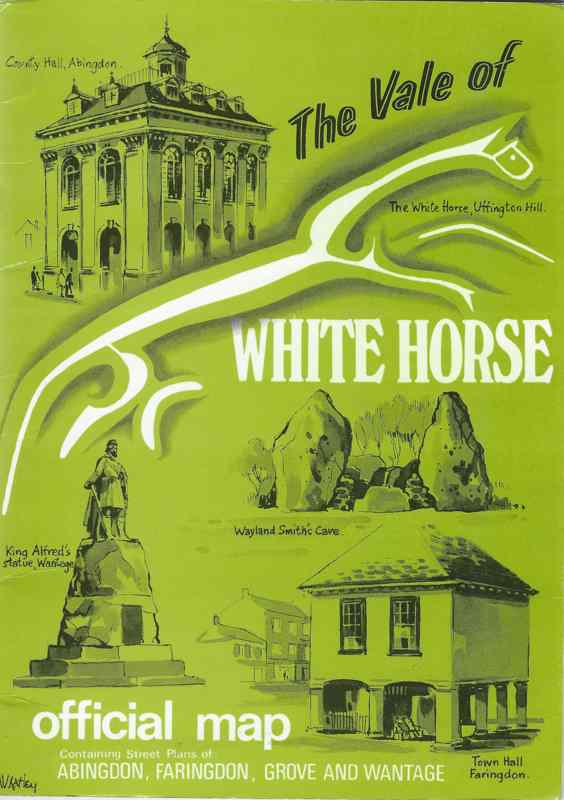
The Vale of White Horse - Official Map
This is in booklet form and contains a map that opens up and illustrates the various towns such as Wantage, Abingdon and Faringdon. It seems to have been printed circa 2000
- Year:1982
- Place:Vale of White Horse
- Ref:S2D
- Item Ref:N565
- Find it:S2D
Do you know?
We are always on the look-out for more information about Shrivenham and district. If you have old photos, know of historical facts, old documents (especially deeds) please contact us...
If you would like to view any item please email us to make an appointment, details on the Home page.