
Explore the catalogue
Catalogue
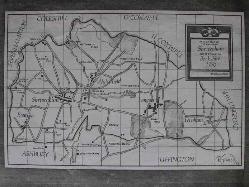
Sketch map of the Parish of Shrivenham circa 1770.
Original drawn by Roy Selwood in 1983.
- Year:1770
- Place:Shrivenham & District
- Ref:C2.3.3.0
- Item Ref:N794
- Find it:C2 SHR 3.3.0
Do you know?
We are always on the look-out for more information about Shrivenham and district. If you have old photos, know of historical facts, old documents (especially deeds) please contact us...
If you would like to view any item please email us to make an appointment, details on the Home page.