
Explore the catalogue
Catalogue
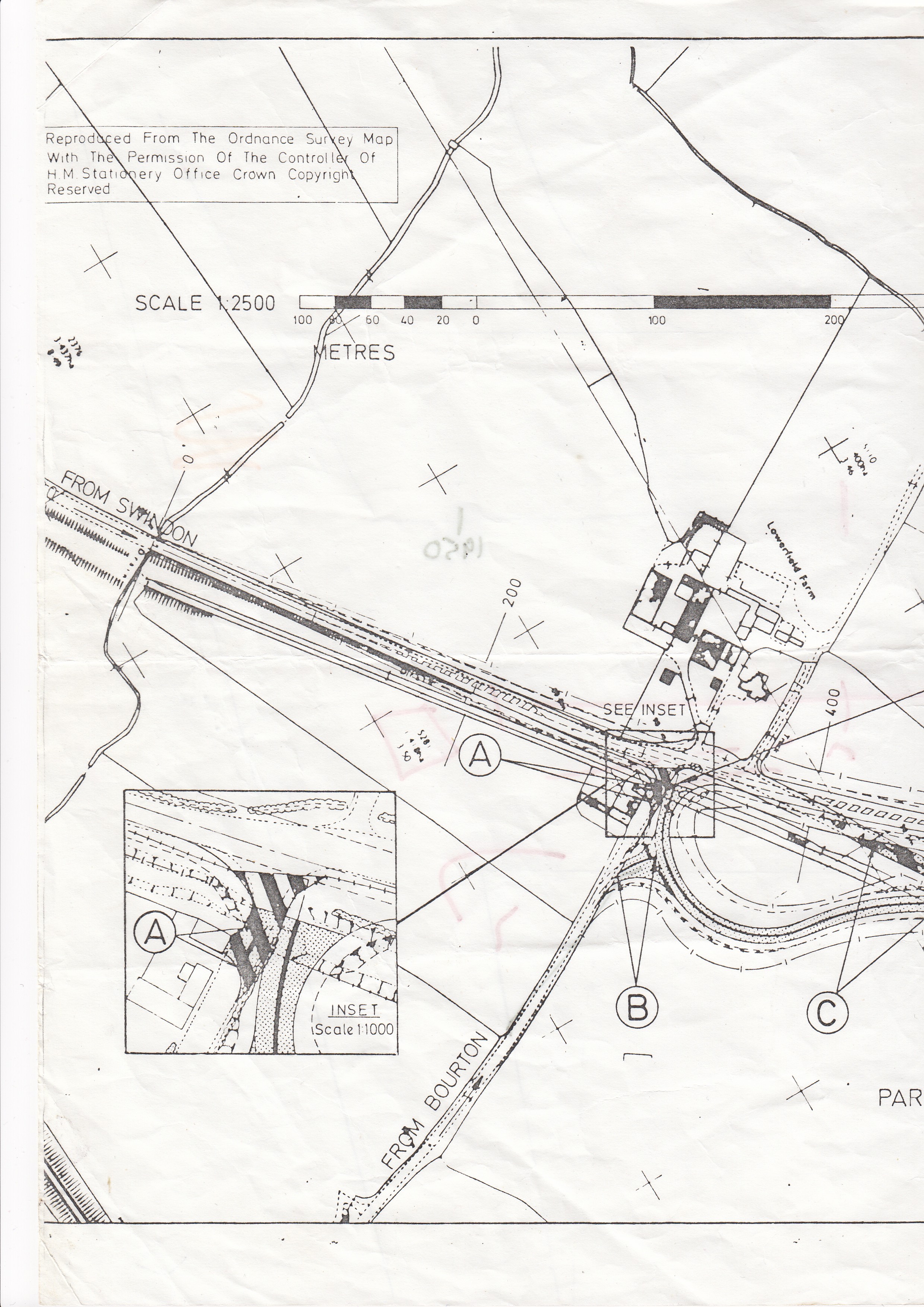
Map of Proposed Shrivenham By-Pass
This map is an A4 copy of an Ordnance Survey (with permission) showing the proposed route of the By-Pass at Shrivenham, that was built in 1983. It's a snap shot of how things looked at that time. The map is online only, we have no hard copy.
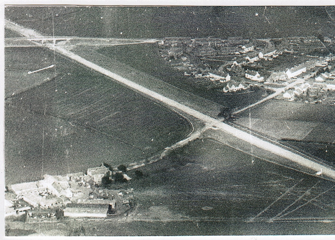
There is also an aerial photo with this listing that shows the By-Pass under construction at the point where it passes Stallpits Farm, with the Highworth Road Bridge top left. This was donated by Tony Jones.
- Year:1982
- Place:Shrivenham
- Ref:C2.3.3.3.
- Item Ref:N996
- Find it:C2.SHR.3.3.3
Do you know?
We are always on the look-out for more information about Shrivenham and district. If you have old photos, know of historical facts, old documents (especially deeds) please contact us...
If you would like to view any item please email us to make an appointment, details on the Home page.